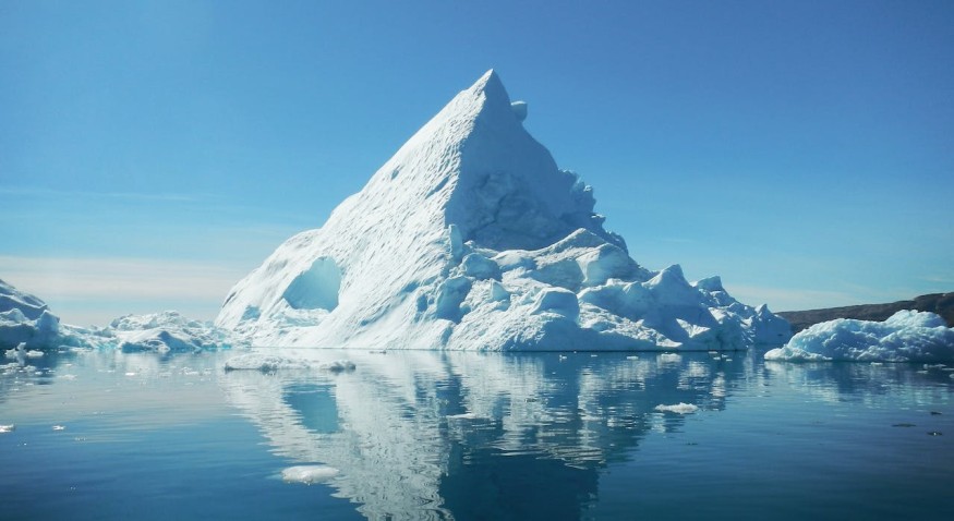
A novel AI system has been trained by scientists to spend around one-hundredth of a second accurately mapping the outline and surface area of massive icebergs taken through satellite images.
Iceberg Monitoring
The system serves as a huge advancement when it comes to current automated systems that struggle in distinguishing icebergs from other image features. While human interpretation has better accuracy, it may take a couple of minutes for a single iceberg's outline to be delineated. The process becomes laborious and time-consuming if it were to be repeated several times.
Monitoring icebergs is crucial for scientific study and maritime safety as these massive structures gravely impact the environment at the poles. These icebergs can be quite massive and may pose risks to ships that pass. When these structures melt, they expel freshwater and nutrients into the seas. These could directly affect aquatic ecosystems.
Dr. Anne Braakmann-Fogmann, the study's leader who is doing doctoral research at the University of Leeds' Center for Polar Observation, explains that icebergs are present in areas of the world that are difficult to reach. Dr. Braakmann-Fogmann adds that satellites are not just great tools for observing these structures but that they also aid the understanding of how icebergs melt and break apart.
AI System For Mapping Out Icebergs
Dr. Braakmann-Folgmann explains that with the novel AI system, some challenges with existing automated systems can be overcome.
The researchers made use of an algorithm known as U-net, which is a specific kind of neural network, for training a computer for mapping iceberg outlines accurately from satellite images of the European Space Agency's Sentinel-1 satellite.
The U-net aglorithm's effectiveness was compared with two other algorithms, Otsu and K-means, used for mapping icebergs. These algorithms were designed and programmed to pinpoint the biggest iceberg in various images from satellites.
The analysis revealed that the U-net algorithm was able to identify an iceberg correctly in a particular image. Comparatively, the k-means algorithm was observed to incorrectly identify some smaller iceberg clusters.
U-net was also observed to correctly identify an iceberg surrounded by sea ice. However, the k-means identified both the sea ice and the iceberg as one single massive structure, showing its incapacity to distinguish the two.
The algorithm makes use of an approach that is designed for image manipulation. By analyzing image pixels, it can distinguish object outlines or boundaries. In this specific case, it can identify an iceberg's outline.
According to Dr. Braakmann-Folgmann, the technology could lead to novel services for offering data on the size and shape of icebergs. Current services for mapping only reveal the central or midpoint location as well as the length of these structures. Interpretations done by this novel approach implies that the area and outline of these structures can be calculated.
The system was tested on seven icebergs' satellite shots. For each one, there were as many as 46 images used for covering different seasons from the year 2014 all the way to 2020.
Generally, the algorithm was found to be more effective compared to the two other algorithms. On average, it only displayed a 5% lower estimate of an iceberg's area.
Professor Andrew Shepherd from the University of Northumbria, who is one of the study's co-authors, explains that the study reveals how machine learning can allow scientists to monitor inaccessible and remote areas of the world in close to real-time. Moreover, with machine learning, the AI algorithm will develop even better accuracy as it learns from its mistakes.
Check out more news and information on Environment & Climate in Science Times.


