The Climate Prediction Center, part of the National Oceanic and Atmospheric Administration (NOAA), has announced a 60% chance that a weak La Niña event will develop this autumn and could last until March.
La Niña is part of a natural climate cycle that significantly affects weather patterns around the world. It usually leads to various weather events depending on the location.
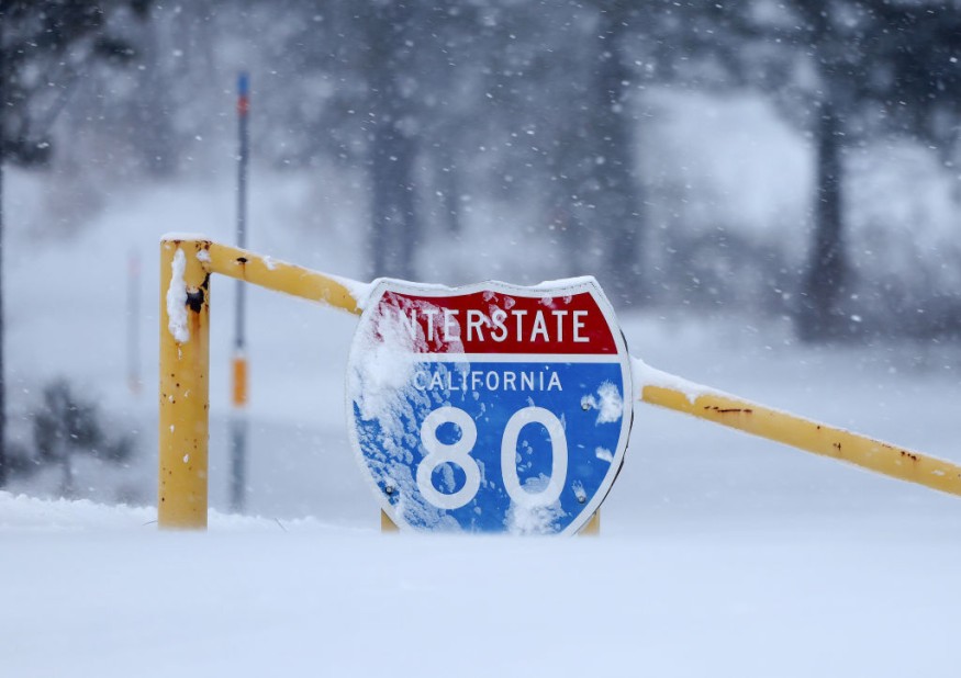
Weather Predictions Shift Across the Northern Hemisphere
La Niña events often bring different weather conditions to different regions. For instance, northern South America may experience more rainfall than usual, while southern areas of the United States and parts of Mexico could see less moisture.
In contrast, the northern U.S. and southern Canada are expected to have above-average precipitation. These changes can help farmers and communities prepare for the season ahead.
La Niña is the cool phase of the El Niño-Southern Oscillation, which involves changes in wind patterns and ocean temperatures in the Pacific Ocean, said AP News. During La Niña, trade winds become stronger, causing colder water from the ocean's depths to rise to the surface. This process leads to lower ocean temperatures in the eastern Pacific.
In contrast, El Niño is the warm phase of this climate cycle, occurring when the trade winds weaken. When this happens, warm ocean waters build up along the western edge of South America.
These ocean temperature changes also influence the jet stream, a fast-moving air current that affects weather across the globe. The jet stream's movement can change where storms go and how much rain or snow falls in different areas.
READ MORE : Watch SpaceX Catch Starship Booster Using Chopstick-like Tower Arms in Historic Rocket Landing
Impact of La Niña on US Winter Forecasts
In recent years, the world has seen a "triple-dip" La Niña, which means it lasted for three winters in a row, from 2020 to 2023. Michelle L'Heurex, a climate scientist at NOAA, pointed out that this was a rare event, as the last time it occurred was between 1973 and 1976. La Niña events typically happen more often and last longer than El Niño events.
Last winter was notably warm for the continental United States, largely due to El Niño, which opposed the effects of La Niña. This resulted in less snowfall in areas like the Northeast and Midwest, creating a winter snow drought.
According to CNN, the Climate Prediction Center has indicated that while La Niña has not yet fully developed, it is likely to appear by November and persist throughout winter into early spring of next year.
While La Niña and El Niño significantly influence weather patterns, they are not the only factors at play. Their effects are especially noticeable during strong occurrences and receive considerable attention due to their impact on winter weather.
Looking ahead to this winter, the northern parts of the United States are expected to see above-average precipitation. This includes the Pacific Northwest, Midwest and some parts of the Northeast, which are crucial for addressing ongoing drought conditions.
© 2026 ScienceTimes.com All rights reserved. Do not reproduce without permission. The window to the world of Science Times.


