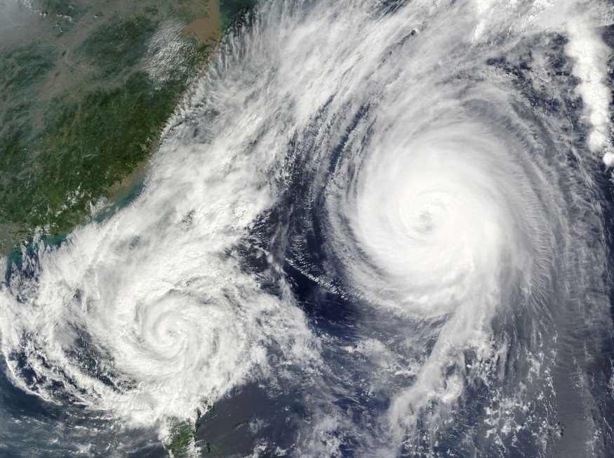
Rapidly intensifying hurricanes are known for their destructive nature and have posed a formidable forecasting challenge. Researchers from the National Center for Atmospheric Research (NCAR) are now unraveling the mysteries behind these deadly weather phenomena.

Two Modes of Hurricane Rapid Intensification
NCAR scientist Falko Judt, the lead author of the study, emphasized that the quest for a single explanation for rapid hurricane intensification is misguided, as there are multiple mechanisms at play.
The research, titled "Marathon versus Sprint: Two Modes of Tropical Cyclone Rapid Intensification in a Global Convection-Permitting Simulation" published in the Monthly Weather Review, discussed two distinct modes of rapid intensification, each dictated by unique sets of conditions.
The first mode is characterized by symmetric intensification, driven by favorable environmental factors like warm surface waters and low wind shear. This type of rapid strengthening has been associated with some of history's most devastating hurricanes, including Andrew, Katrina, and Maria.
Hurricane Otis recently astounded meteorologists by unexpectedly intensifying by 110 mph within 24 hours, reaching category 5 strength as it made landfall on Mexico's west coast.
The second mode, previously overlooked, leads to rapid intensification but doesn't result in peak winds of extreme levels. In this mode, major bursts of thunderstorms occurring at a considerable distance from the storm's center trigger a reconfiguration of the cyclone's circulation, allowing it to rapidly intensify to category 1 or 2 status within hours. I
Intriguingly, this mode often occurs despite unfavorable conditions, such as opposing upper-level winds that shear the storm in different directions.
While they are less memorable and impactful, these storms exhibit the potential for rapid intensification. Forecasters must be aware that even a storm facing shearing winds and asymmetry can undergo rapid strengthening.
READ ALSO: Is It Possible for Lightning to Strike in the Same Place Twice? Here's What Scientists, NASA Tell Us
Serendipitous Discovery and Implications for Forecasting
The unexpected discovery of the two distinctive modes of rapid intensification in hurricanes arose serendipitously during an unrelated project, involving a comprehensive 40-day simulation of the global atmosphere. The research focused on a broader, global perspective, which was a departure from conventional models that often studied specific isolated regions.
Real-world observations of tropical cyclones substantiated the existence of both modes of rapid intensification. The two modes became apparent when Judt analyzed the data and created plots, revealing that some storms undergo canonical rapid intensification from a tropical storm to a category 4, while others shift from a tropical storm to category 1 or 2, fitting the definition of rapid intensification. This latter mode had gone largely unnoticed until the simulation brought it to light.
The implications of the study suggest that many cases of rapid intensification might fall somewhere between these two modes, with some storms transitioning from a "sprint" mode to a "marathon" mode.
The research raises questions about why bursts of thunderstorms can trigger rapid intensification in about 10% of storms under unfavorable conditions, while the remaining 90% do not.
Further investigation is needed to understand this phenomenon and its significance for forecasters. The study, funded by the U.S. Navy Office of Naval Research and the U.S. National Science Foundation, was published in the Monthly Weather Review, a journal of the American Meteorological Society.
RELATED ARTICLE: Why Are There No Hurricanes in the Equator? Mystery Force That Prevents It From Crossing This Safe Zone Explained
Check out more news and information on Hurricanes in Science Times.


