Landsat 9
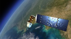
NASA Landsat-9 Satellite To Help Examine Crop Health, Irrigation; Here's How!
NASA, USGS Shares First Ever Photos From Landsat-9 Satellite; What Makes It Special?

NASA Landsat 9: Secondary Payloads Starts Commissioning
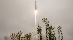
NASA Finally Launches Powerful Landsat 9 Satellite to Continue 50-Year Legacy of Earth Observation
NASA Landsat 9 to Launch via United Launch Alliance Atlas V Rocket After Multiple Delays
Most Popular

How Technology Is Changing the Real Estate Industry?

Nikolay Karpenko Biography, Photo, Career, Accomplishments

How a Plant-Based Diet Can Protect Against Breast Cancer: Insights from Nutrition Research

The Role of AI in the Next Generation of Logistics: Insights from Tobias Waldhecker

