Tags: Satellite images
Google Earth Engine a Game Changer in Satellite Imaging: How Does This Platform Allow Better Monitoring of Deforestation?

Satellite Images Show Construction Site of Saudi Arabia's 100-Mile Long Mirrored Skyscraper

Satellite Images Show Militarized Dolphin Pens in Russian Naval Base; What Can These Trained Marine Mammals Do to Be Involved in War?
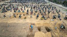
Satellite Images Reveal Expanded Makeshift Mass Burial Site Near Ukraine's Besieged City of Mariupol
Russia's Unsecured Communication While in Ukrainian Territory Allegedly Confirms Notorious Killings in Bucha, German Intel Says
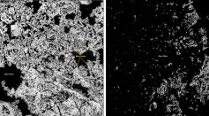
Satellite Images Reveal Arctic Sea Ice Lost 16% of Thickness in Three Years Due to Greenhouse Gas Emissions
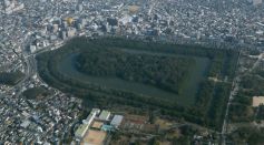
Over 100 Japanese Burial Mounds 'Kofun' Captured in a Satellite Imaging; Keyhole-Shaped Tombs Designed to Face Rising Sun
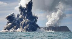
Tonga Underwater Volcano Erupts Again; Satellite Images, NOAA Report Reveal Eruption is 7X More Powerful Than the Last Outburst
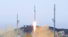
Iran Preparing Space Launch Soon? Satellite Images Show Ongoing Work Amid Tattered Nuclear Deal With World Powers

Satellite Captures Mass Evacuation; Images from Space Show Crowds Surge at Kabul's International Airport, Afghanistan
MixChannel: Satellite Images Can Now Be Processed with Minimal Datasets, Thanks to a New Technique from Skoltech
Red Himalayan Glacial Lake Discovered Using Satellite Images Taken Over the Past 20 Years
Satellite Image Revealed Coronavirus Might Have Started in China Last Summer
Most Popular

Say Goodbye to Dark Spots: The Science Behind Dark Spot Remover Creams

Persistent Coughs Are Everywhere: Here's What Experts Think Is Causing It

Ancient Hotspot Found to Have Created Great Lakes 300 Million Years Ago

Mysterious Structures Discovered Beneath the Pacific Ocean, Puzzle Scientists


