Satellites
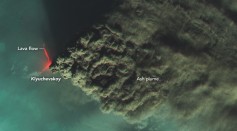
NASA Satellites Capture Russia’s Klyuchevskoy Volcano Throwing 1,000-Mile-Long Cloud of Dust
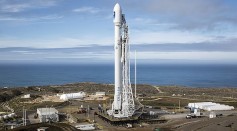
SpaceX Launches 2 Communication Satellites Into MEO for SES O3b mPOWER Mission

SpaceX Reacts After FAA Warns Starlink Satellite Could Kill, Seriously Injure Someone By 2035
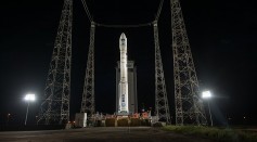
Arianspace’s Vega Rocket Launches Thailand’s THEOS-2 Earth-Observation Satellite, Taiwan’s Triton for Its VV23 Mission

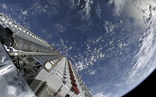
SpaceX Falcon 9 Made Sixth Flight With 21 Starlink Satellites

SpaceX To Launch 21 Starlink Satellites on Falcon 9 Rocket Today; How To Watch Live

Japan’s Astroscale Develops New Spacecraft To Clean Dangerously Congested Space From Decommissioned Satellites
British Companies To Launch a Knitted Satellite With State-of-the-Art Deployable Antenna
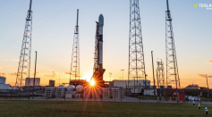
SpaceX to Launch Record Payload of 56 Starlink Satellites in Upcoming Mission, Breaking Previous Records

China Adds 14 Commercial Satellites Into Orbit Atop Long March 2D for Its Fifth Launch of 2023
SpaceX Set to Launch Their First Next-Gen Tranche Satellites on Dec. 28
India Launched 36 Communication Satellites After Month-long Delay Due to Ukraine War
NASA Satellites Track Wildfires & Tropical Storms

SpaceX Reportedly Will Launch Thousands Of Internet Satellites; Falcon Heavy’s Main Core Made Its First Static Fire Test
Most Popular

How Technology Is Changing the Real Estate Industry?

Study Reveals High Turnover in Scientific Research Careers: What This Means for Future Scientists

How a Plant-Based Diet Can Protect Against Breast Cancer: Insights from Nutrition Research

Why It's So Difficult to Lose Weight: The Biological Explanation Behind Obesity

